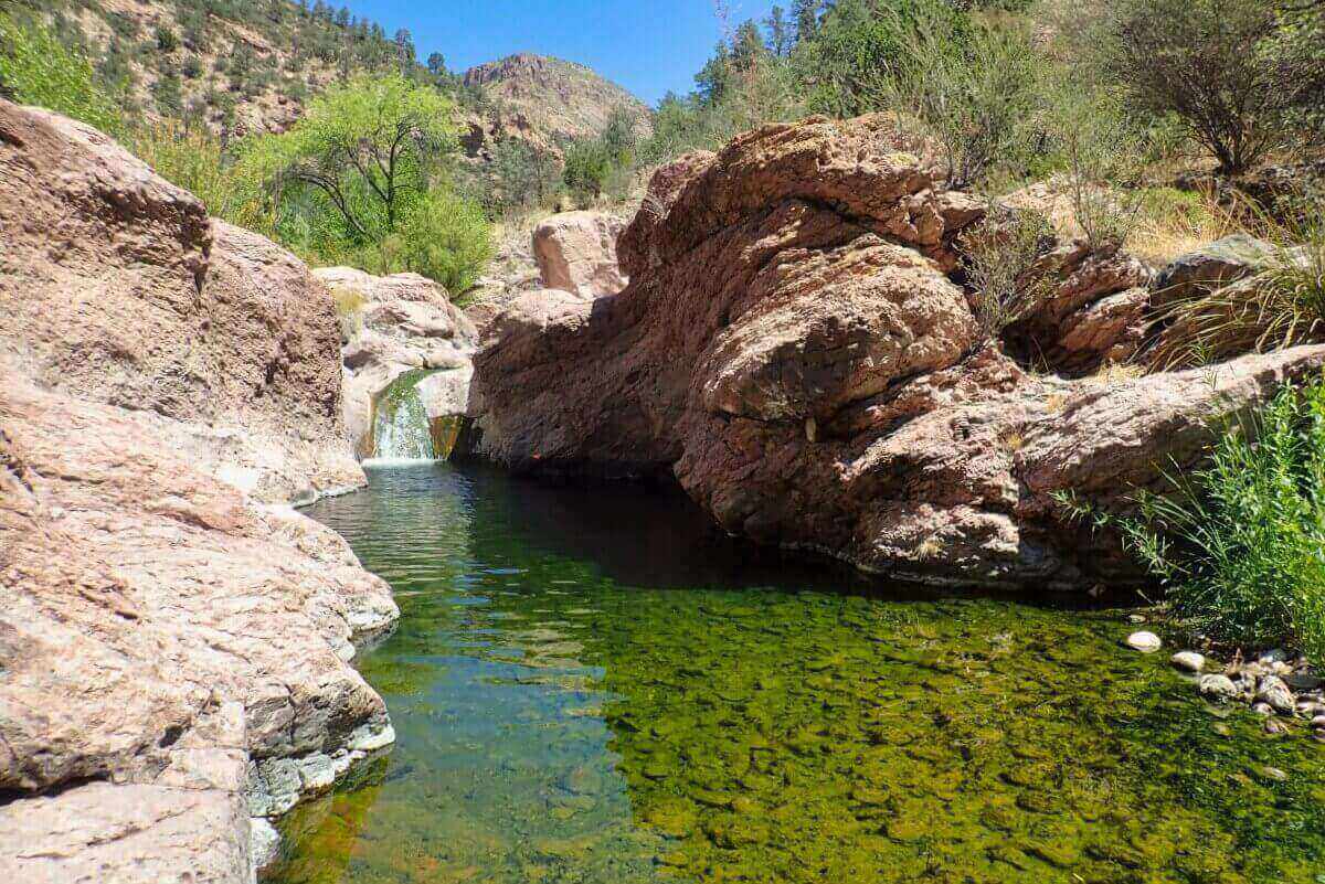
This is one of the reasons why New Mexico is called the "Land of Enchantment."
Due to misinformation and my own lack of preparation, I almost got lost.
Do your homework
Of the wild hot springs scattered throughout the Gila National Forest, Turkey Creek Hot Springs is by far the most difficult to reach.
First, from the settlement of Gila, head northeast on Turkey Creek Road

The road, now unpaved, gained altitude rapidly and went straight to the turnoff to Block Canyon Hot Springs.
-

ReferenceBrock Canyon Hot Springs - Hot Springs in New Mexico
This is one of the least known hot springs introduced in this blog. It is located deep in the mountains, dotted with abandoned mines. Remains of World War II? This time, I will follow the Gila River, which flows out ...
The road surface was rough, so a vehicle with high road clearance is recommended.
The dirt road continued to intersect the Gila River, but I gave up crossing it by vehicle due to the high risk.

The surrounding area was a free campsite and several trucks were parked there.
From here, it is an 11-mile round-trip climb
Experienced hikers may be able to make a day trip, but it is better to be prepared to stay overnight in a tent, as the second half is a difficult stream climb and takes time.
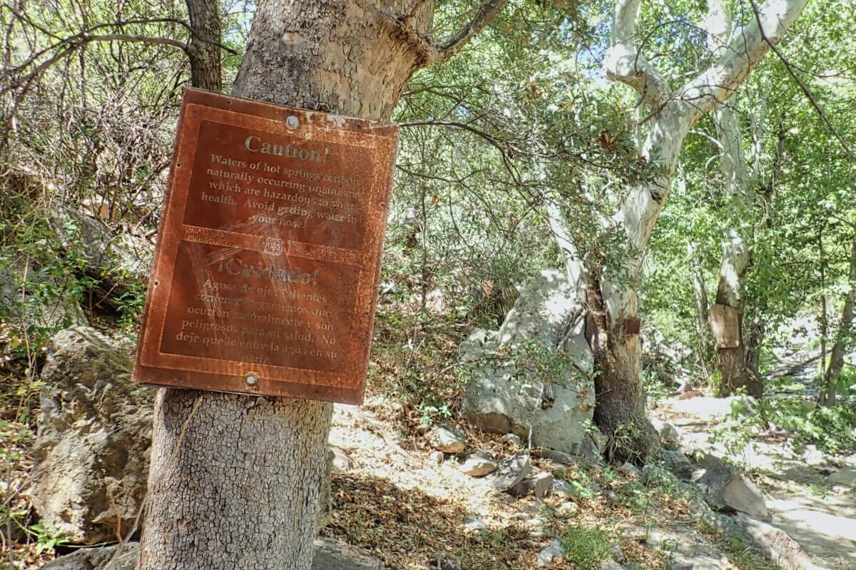
After crossing the Gila River three times on foot, I headed north along its tributary (Turkey Creek).
So far it had been relatively easy, but the first challenge came about 4 miles from the starting point.
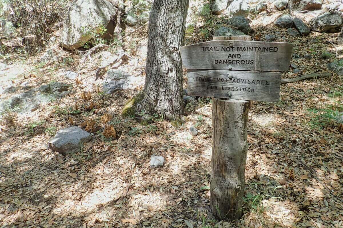
The trail turns off to the west from the stream and ascends the ridge of Skeleton Canyon, but if you make it that far, you've gone the wrong way.
Keep your eyes on the right side and look for a side road leading to the parallel stream.
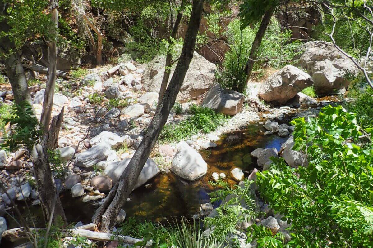
There are no obvious landmarks, so please do your homework.
In fact, I accidentally went straight on the original trail, and the point at which I thought something was wrong and turned off the ridge and descended to the stream was well beyond the hot springs.


Challenging stream climbing
For this reason, the photos are arranged in reverse chronological order of when they were actually taken.
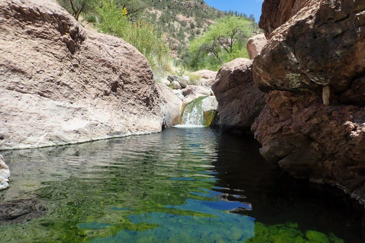
After entering the side road, it was only about 1 mile to the upper reaches of Turkey Creek.
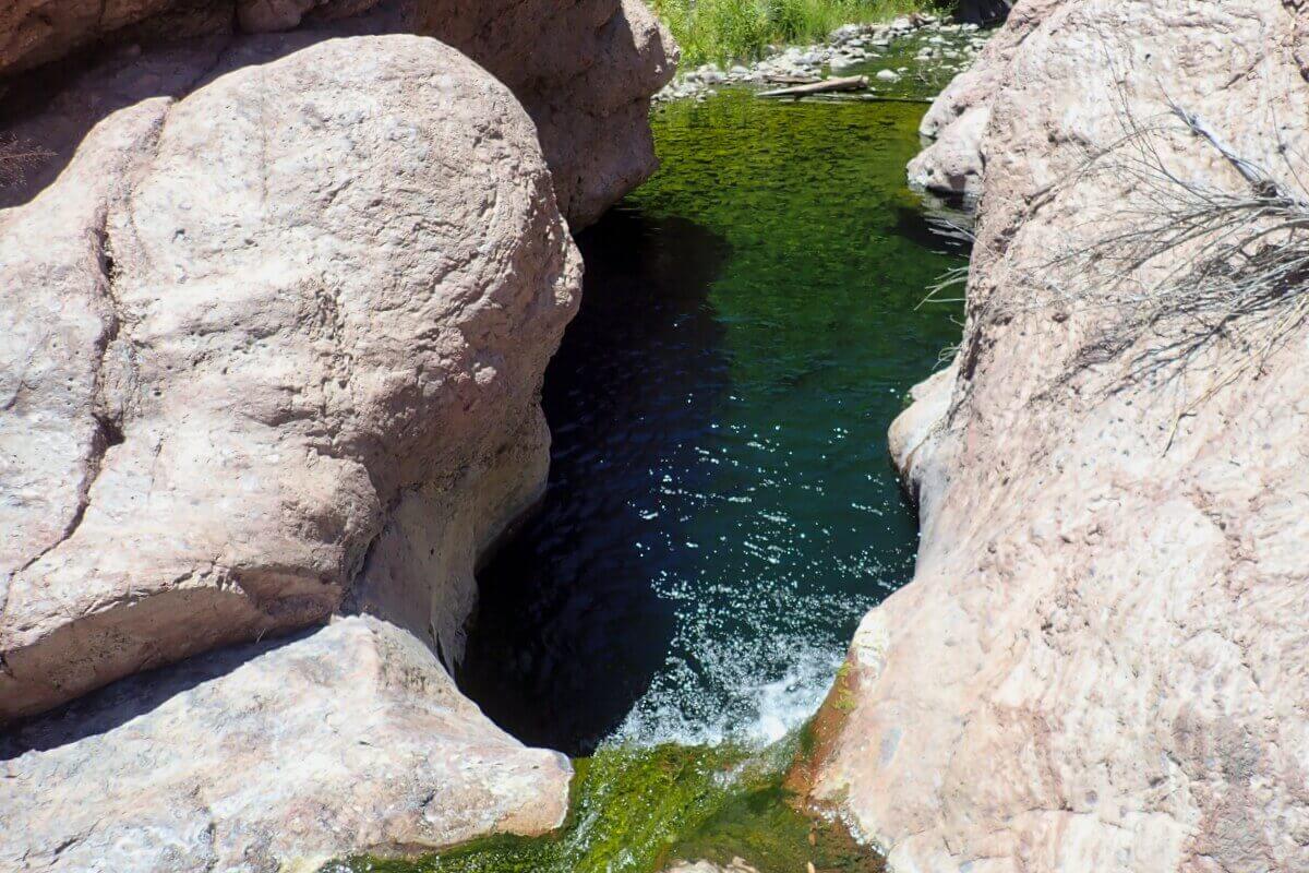
Nevertheless, the trail was lost in a flash flood.
It was a series of difficult challenges, waist-deep in stream water, scrambling up huge rocks, and just pushing on.
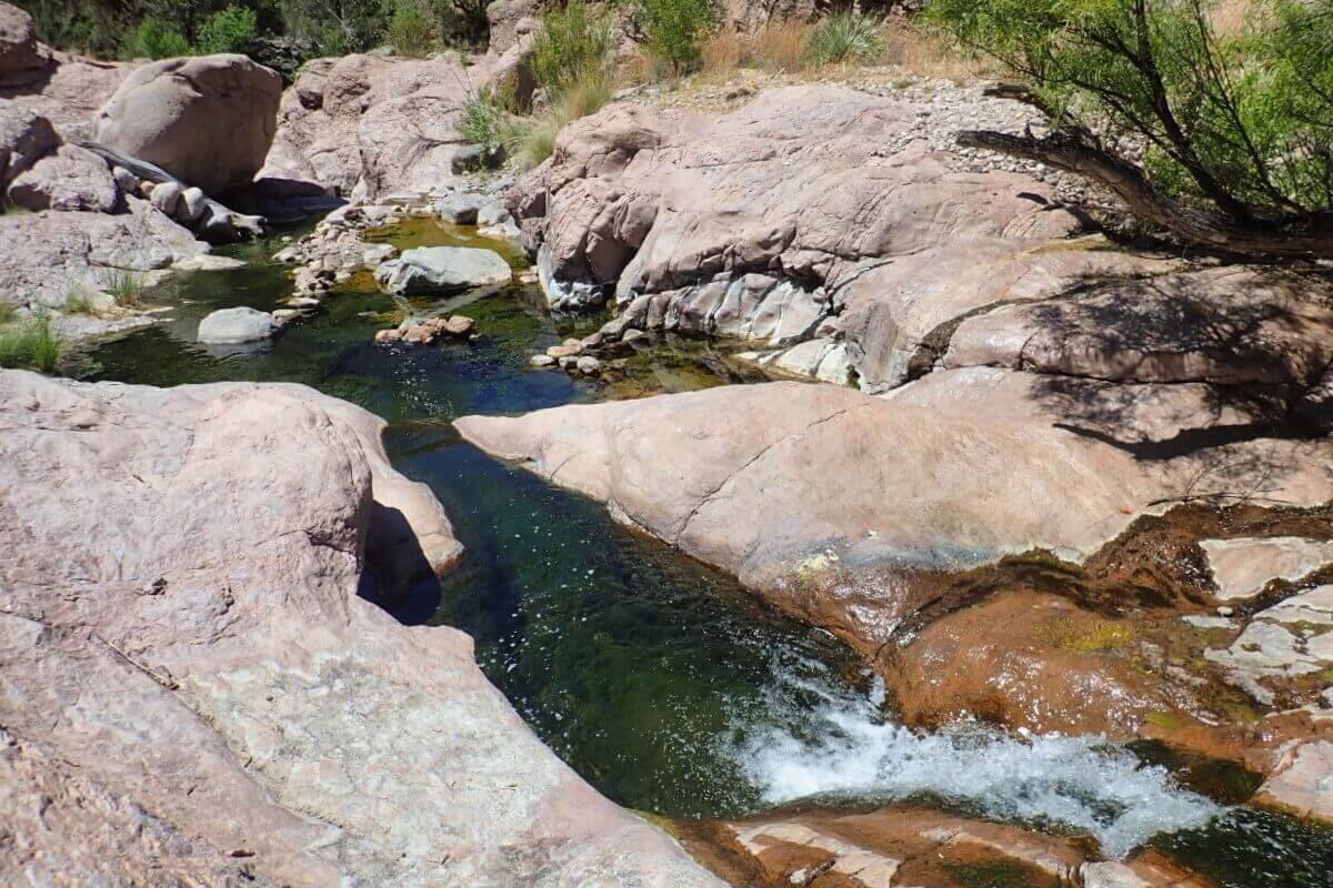
Note that the GPS info for Turkey Creek Hot Springs on Google Maps is incorrect from the past.
It is actually closer to the trailhead, which is another reason I got lost.
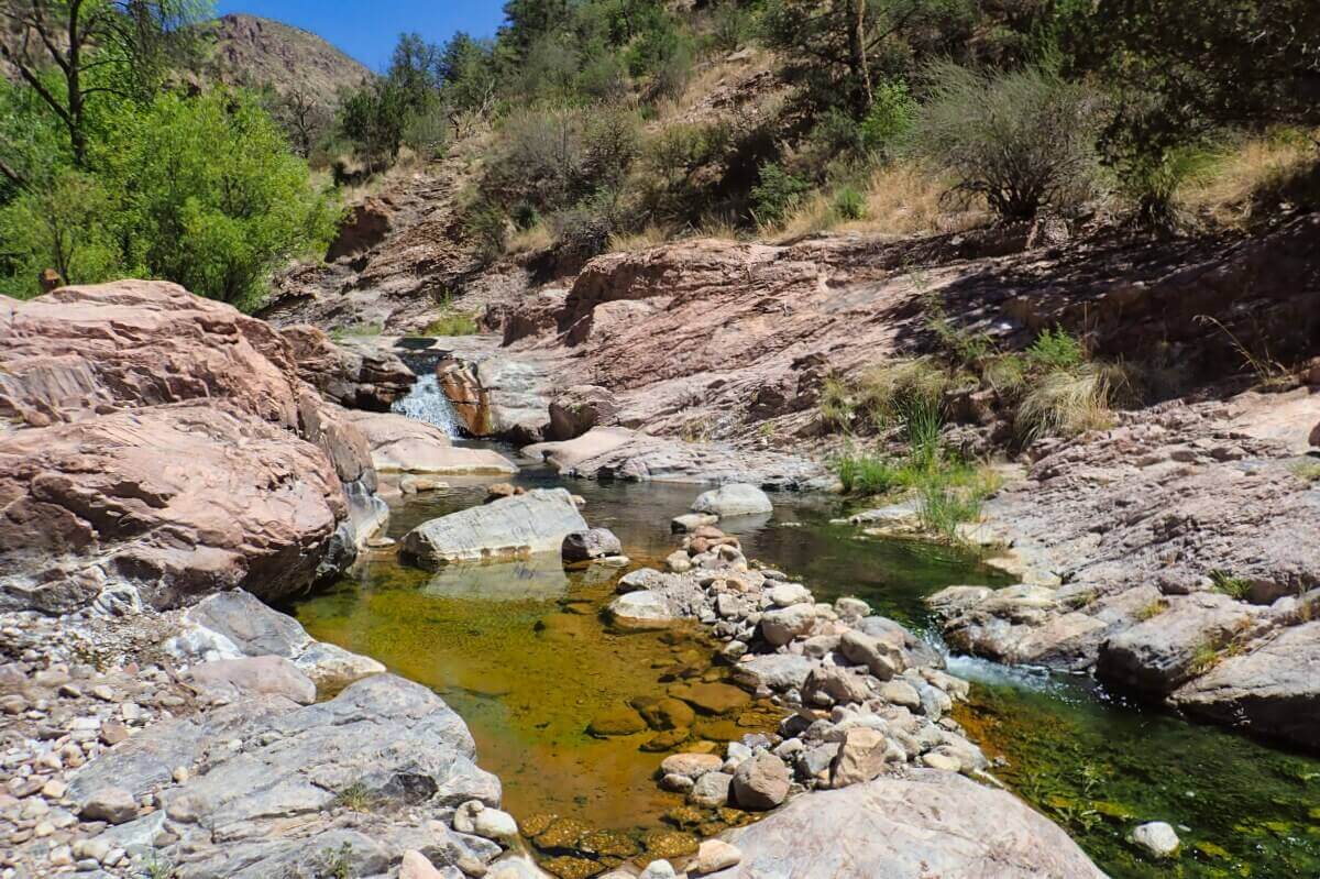
Because of the danger of rising water, special attention should be paid to snowmelt in early spring and summer rainfall.
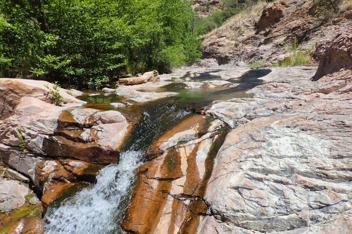
As I proceeded upstream, I could feel the overall temperature of the stream water rising.
The water temp in this area was about 108 degrees F, which was comforatable.
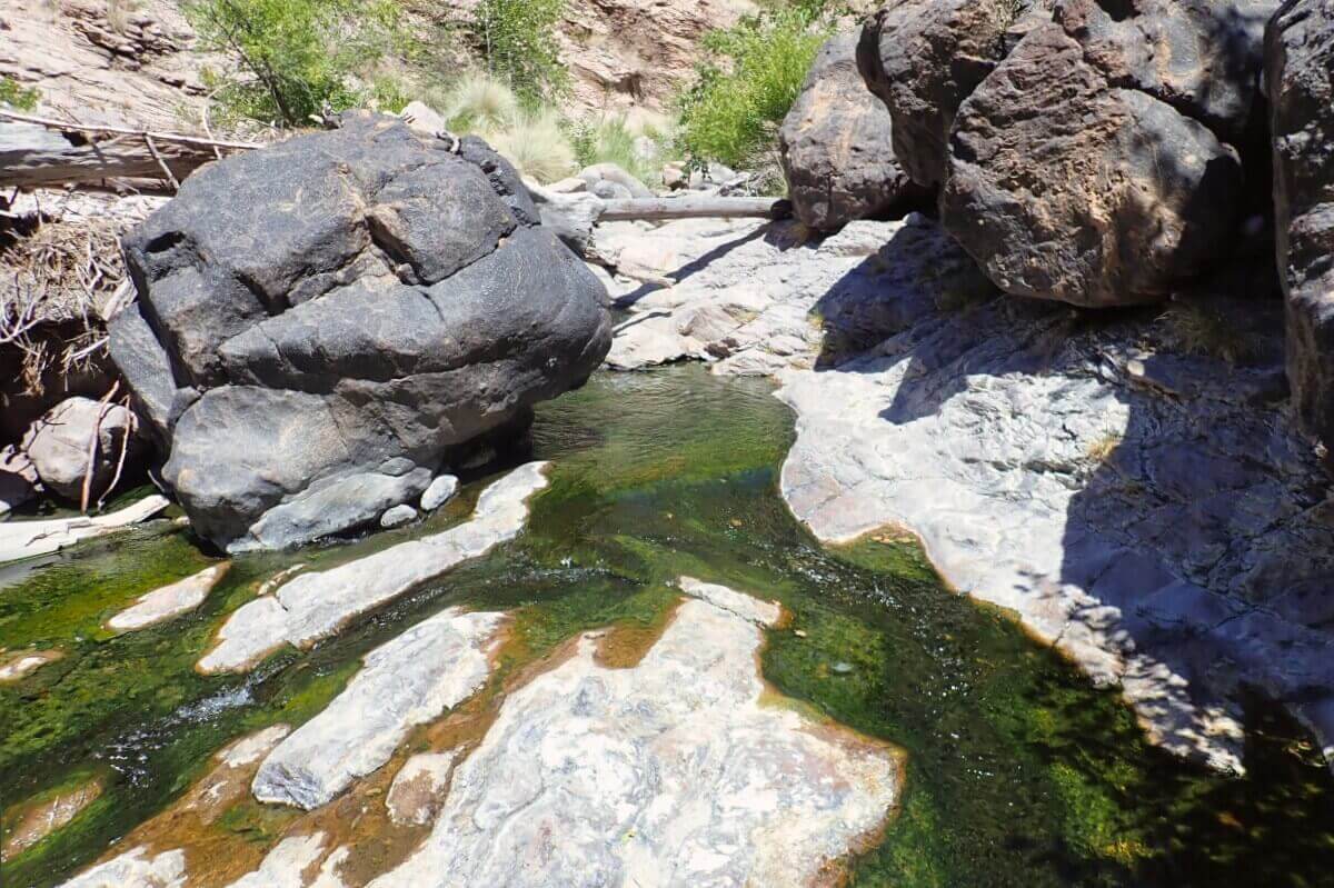
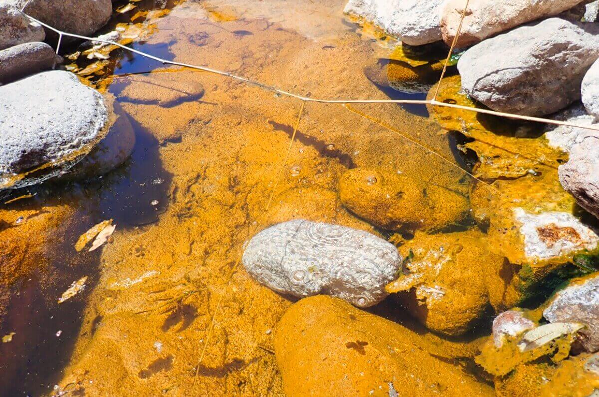
The stream water, which originally had a yellowish tinge, is now more deeply colored.
No particular odor was detected.
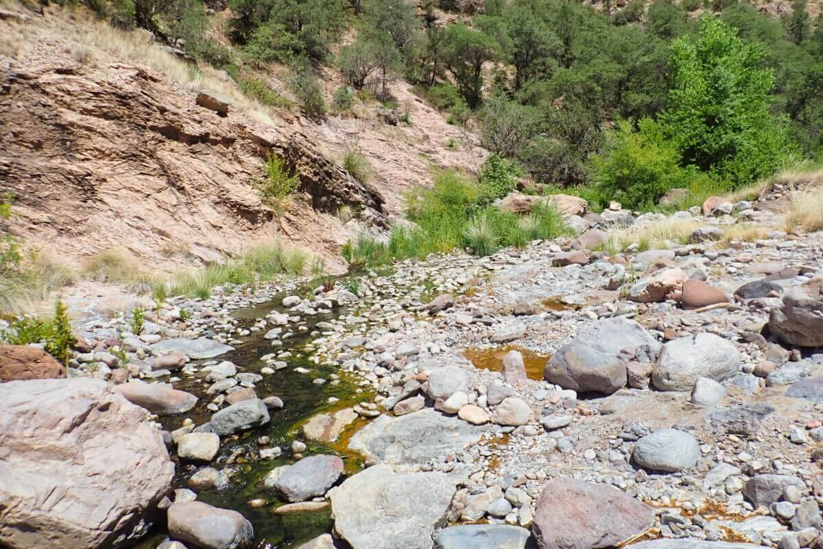
The riverbanks were dotted with numerous sources, and the ground surface was stained orange.
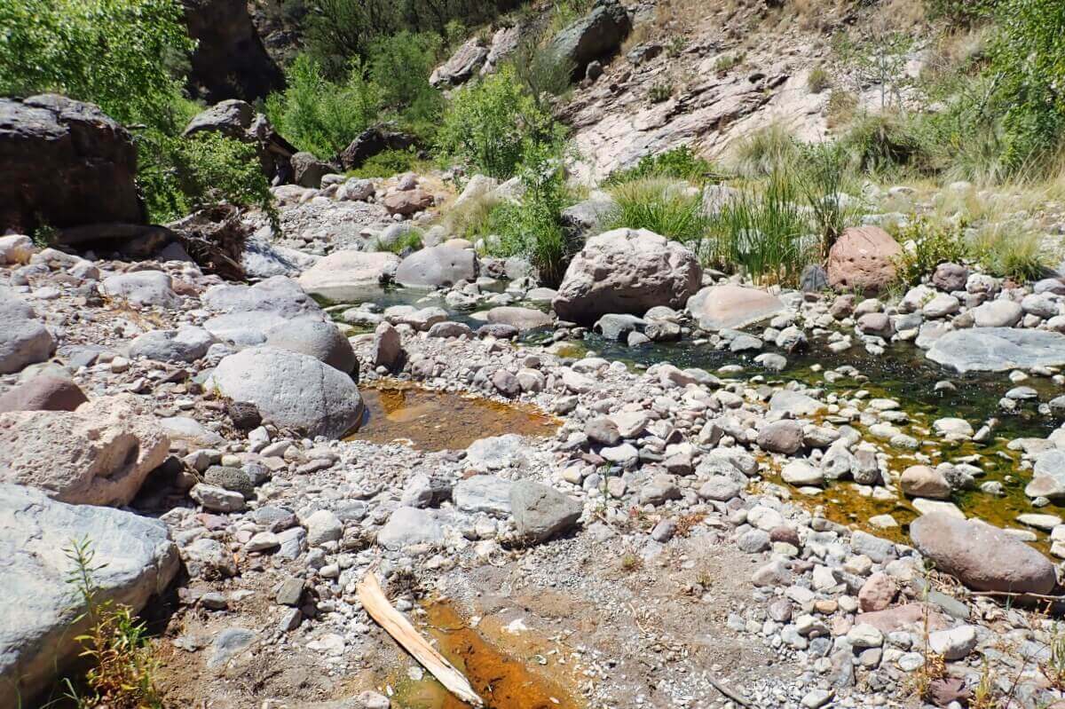
At 165 degrees F, some of the pools were dangerously hot.
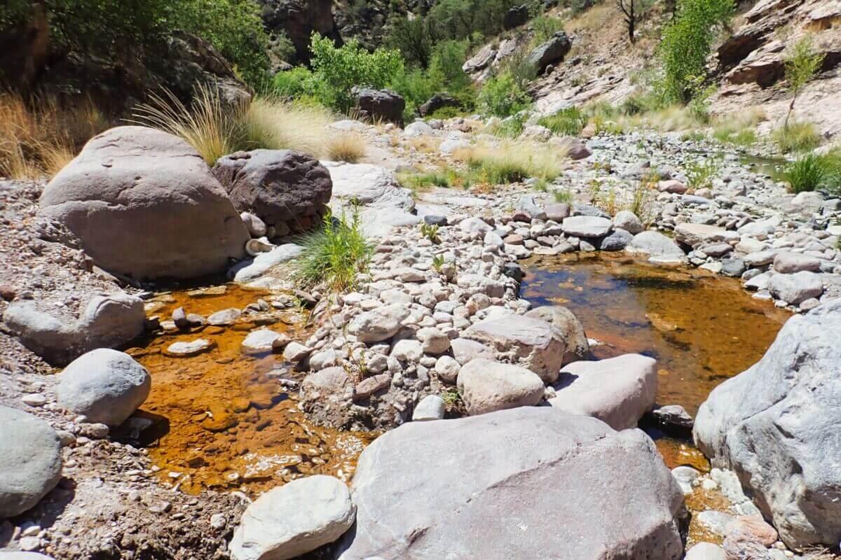
An unspoiled and truly enchanted land.
I should also mention that on the way back, I had a close encounter with a mountain lion.
Summary
Turkey Creek Hot Springs, Gila National Forest, New Mexico, U.S.
My rating
Type: Undeveloped
Rule: Clothing optional
Chemical use: No
Water temp: Up to 165 degrees F

